
Five UK cities that will be hottest during heatwave as forecasters predict 35C temperatures on the way

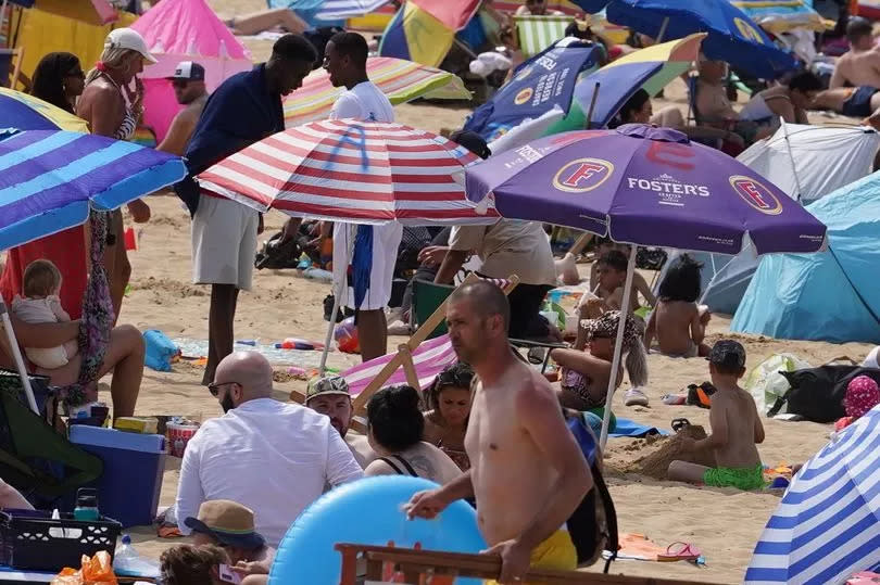
There's promising news for Brits as hot weather maps predict an end to the cold spell, with a two-day blast of 26C heat. The UK could see a heatwave by the end of June, with temperatures expected to rise into the mid-twenties, nearing the 30C mark.
According to WX Charts maps and charts that use Met Desk data, we could see the temperature peaking at around 26C. Cities such as Birmingham, London, Cardiff, Manchester, and Newcastle are predicted to enjoy the best of this sunny period from June 26 to June 28.
In their forecast spanning June 17 to June 26, the Met Office stated: "At first, the weather across the UK is likely to continue to be a mixture of sunny spells and scattered showers, with some longer spells of rain also possible. Some showers are expected to be heavy and could be thundery at times.
"Temperatures will generally be around or a little below normal for mid-June, and it may well be breezy in places too. Through the weekend and into the following week, confidence in any particular weather pattern dominating becomes low.
"As such, the best forecast is for fairly typical June weather, with a mixture of weather types. This means some spells of drier, sunny weather but also some showers or longer spells of rain at times. Temperatures will most likely be close to or slightly below average."
The forecast from June 27 to July 11 suggests a mixed bag of British weather, with the Met Office stating: "There is little sign for any one type of weather pattern to dominate during this period. As such, typical conditions for the UK are most probable with a mixture of weather types. All areas can expected to see some spells of drier, sunnier weather, but there will also be showers or longer spells of rain at times.
"Currently the only signals, weak as they are, hint that rain and showers will tend to be more biased towards the north and west, with any more prolonged drier interludes favouring the south. Temperatures are most likely to be close to or slightly above climatological average."
It comes as Exacta Weather forecaster James Madden has hinted at brighter skies ahead, stating "current signals are still good" for "a major build of high pressure during next week". This should mean June wraps up with "warm to hot temperatures over a number of days".
But it's July that's set to really turn up the heat, according to Madden. In a Facebook update posted on Wednesday (June 12) he teased a "pattern change" that could lead to an exceptionally warm month.
Madden is anticipating conditions will be "pretty amazing" throughout July, potentially culminating in what he describes as a "super or mega heatwave". He wrote: "The good news going forward and into July is that things are looking pretty amazing for this month as a whole, with the now very high possibility of some kind of super or mega heatwave of a decent duration."
In terms of temperature specifics, Madden anticipates "maximum temperatures possibly peaking in and around the mid to high 30Cs".
While other forecasters have also hinted at rising temperatures next month, Exacta is currently the only one to officially declare the possibility of a heatwave. The Met Office's outlook from June 27 to July 11 states: "Temperatures are most likely to be close to or slightly above climatological average."
Netweather says for July 1 to July 9: "Temperatures are likely to be above normal overall, though with uncertainty over the extent of the anomaly." BBC Weather states: "With areas of high pressure likely to remain close to the UK, there is a greater chance of warmer, calmer and drier weather in the first week of July."
According to the Met Office, conditions constitute an official heatwave "when a location records a period of at least three consecutive days with maximum temperatures meeting or exceeding a heatwave temperature threshold". The threshold varies by UK county from 25C to 28C.

