
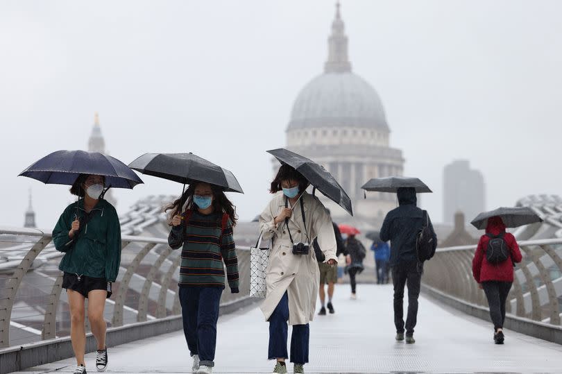
'Thunderstorm from hell' heading to the UK and three places are set to take the brunt of it
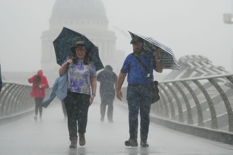
The UK is bracing itself for a frightful weather scenario as a terrifying thunderstorm threatens to unleash 10 days worth of rainfall in just a short span of three hours.
June's usual monthly rainfall averages around 47mm, causing alarm over the predicted showers totalling 15mm in Kent. This means that the southern county could experience nearly a third of its typical monthly rain level within three hours, courtesy of an enormous European storm.
Ventusky weather maps forecast this significant thunderstorm about a week away, indicating - if accurate -megastorm conditions across Brighton, Southend-on-Sea and Ipswich. Plus, Kent can expect an unusual uptick in rainfall.
The Met Office also warns about the potential for some "heavy, thundery rain" to disrupt usual climatic patterns when we typically see highs of approximately 21C.

The weather agency shares more insights into the long-term outlook: "Following a couple of days of largely fine and settled weather, a gradual transition to more changeable conditions from the Atlantic is likely to take place with periods of cloud, rain and stronger winds most often affecting the west and northwest", reports the Mirror.
The forecast adds: "There remains a small chance of an area of heavy, thundery rain affecting parts of the south on Friday 21st, possibly accompanied by briefly hot and humid conditions."
It also predicts that come July, we may see scattered rain spells as Brits steel themselves for not a heatwave, but a possible incoming European storm.
The weather forecast for the first fortnight of July reads: "All areas can expect some spells of drier, sunnier weather, but there will also be showers or longer spells of rain at times."
Amid these challenging weather conditions, a return to warmer climates is predicted by the Met Office in the latter half of July. "Temperatures are most likely to be close to or slightly above climatological average," they added.
Today's weather outlook from the Met Office reads: "Another day of sunshine and showers, heaviest and most frequent in the north, with spells of rain in Northern Ireland. Breezy along the coasts though feeling pleasant in any sunshine."
Looking ahead to Monday through Wednesday, the forecast says: "Sunny spells and scattered showers Monday, these locally heavy, but some places staying dry. Fewer showers on Tuesday and Wednesday. Feeling warm in the sunshine with winds easing."

