UK weather: Heavy rain and 70mph winds as Met Office issues warning ahead of Easter washout

Heavy rain and strong winds could cause travel chaos and pose a risk to life in the run-up to the Easter weekend, forecasters have said.
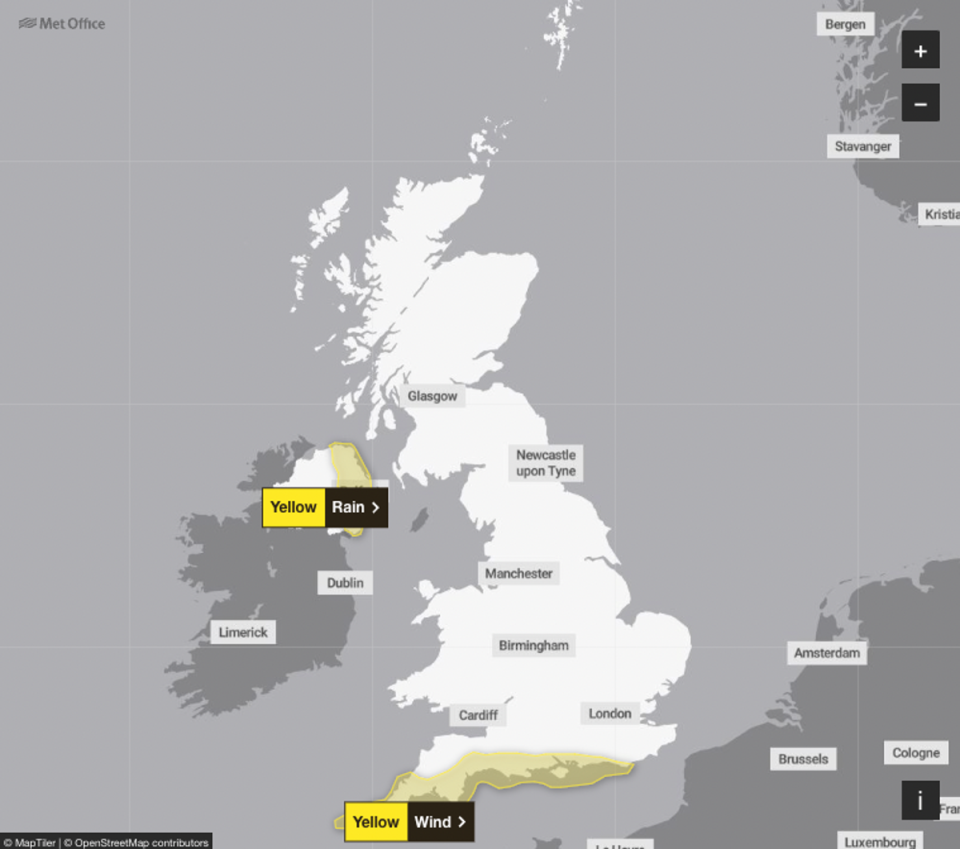
The Met Office has issued weather warnings for rain and strong winds over coming days across parts of Northern Ireland and the south of England.
And hopes for a dry, sunny Easter bank holiday have been dashed, with the forecasters warning that rain is to be scattered across the country from Friday to Monday.
Up to 30mm of rain is expected to fall in Northern Ireland when the yellow warnings come into effect for the eastern part of the country between 7am and 5pm on Thursday.
A further yellow warning for strong winds with gusts of up to 70mph is in place on Thursday for most of the south coast of England, from East Sussex to Cornwall, between 7am and 6pm.

The fresh warnings come as much of the country is preparing for an Easter weekend washout.
There are set to be showers on Good Friday according to forecasters with showers continuing throughout Saturday and Easter Sunday.
Met Office deputy chief meteorologist Helen Caughey said: “Showers will continue into the weekend, especially for southern and western areas.
“However, it is likely that we will see something of an improvement for most areas, with showers tending to become less frequent, and a better chance of longer spells of sunshine for eastern and northern areas in particular.
“It will also become less windy, and temperatures should start to trend upwards, feeling quite warm in any sunshine.
“More widely unsettled conditions look likely to return into Easter Monday.”

The bad weather will not stop there as forecasters suggest the following weekend will also see wet weather.
In their long range weather forecast, the Met Office said Britons will see further rain with “unsettled, changeable weather” dominating the country.
They added that the wettest weather will be seen in the south while temperatures will be cooler in the north.
“Another area of low pressure pushes in from the south with further unsettled, changeable weather dominating throughout,” the Met Office said.
“All areas are likely to see further rain or showers at times, with some drier spells in between. The wettest weather will tend to favour the south whilst northern parts remain a bit drier on average.”

The ongoing wet weather comes just weeks after England had its wettest 18 months since records began in 1836.
The meteorological winter, from December last year to the end of last month, was among the wettest on record, Met Office data shows. Many parts of southern England recorded well over twice the average rainfall last month, leading to travel chaos caused by flooding.

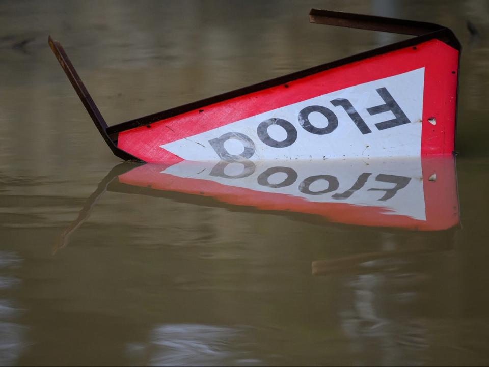
Last month, 57 flood warnings and 190 flood alerts were in place across England, as well as several alerts in Wales amid heavy downpours that caused flooding on road and railway lines.
Farmers said crops were ruined, leading to lower yields of certain veg such as cauliflowers.
More than 1,000 properties were flooded in early January, and rivers across the country burst their banks.
MET OFFICE OUTLOOK
Wednesday:
Rain, with hill snow, will move north across Scotland and Northern Ireland, with brighter spells and showers following. Meanwhile, a band of showery rain will move east across England and Wales. Sunshine ahead, and heavy showers following. Generally rather windy.
Wednesday evening:
Clear spells and scattered locally heavy showers at first. Much of Scotland becoming dry overnight. However, showers continuing across Northern Ireland, and outbreaks of rain developing across England and Wales.
Thursday:
Some bright spells, especially across Scotland at first. However, showery rain moving north across most areas during the day. Some hail and thunder in the south, where also very windy.
Outlook for Friday to Sunday:
Bright spells, but breezy with plenty of showers on Good Friday. Showers more scattered on Saturday and Easter Sunday, and feeling warmer in the sunny spells and given lighter winds.


