

Temperatures plunged to -10C overnight - but worse is to come next week

If you think -10C sounds horribly cold then you're going to need to brace yourself for what next week's weather has in store.
Temperatures last night were the chilliest of the winter so far, plunging to a low of -10.7C (12.7F) in Aboyne, Aberdeenshire.
This beats this winter's previous coldest temperature of -10.5C (13.1F), recorded by the Met Office on January 3 in Braemar.

MORE: May faces Cabinet revolt over no-deal Brexit after telling Corbyn she can't rule it out
MORE: Divers in Hawaii have close encounter with world's largest great white shark
A yellow warning of ice and up to 3cm of snow along the east coast of England was in place until 10am while a yellow warning of hill snow in Wales is in place until 1pm.
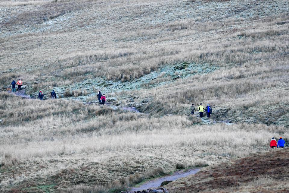
The Met Office said it would be a frosty start for most places while people in eastern parts were warned of the possibility of icy patches.
Rain and snow was forecast over some western parts during the morning commute, although snow was mainly expected on high ground.
Meteorologist Alex Burkill said: "Winter's here now properly. It feels like winter and the weather's resembling it.
"I think in Wales, many places are likely to see some sleet or snow."

The weekend is expected to stay cold, with the possibility of more snow early next week.
The Met Office told the Evening Standard: "It will be cold with rain and sleet through the weekend, but next week is when there's the potential for disruptive snow, particularly on Monday night into Tuesday and Wednesday night into Thursday."

- This article first appeared on Yahoo

